
Charlies Bunion with Mt. LeConte in the background, Masa Knob and Mt. Kephart are out of the frame on the left.
Grassy Branch Trail ties into Dry Sluice Gap Trail 1.3 miles from DSG’s Appalachian trailhead. To complete this trail today, I must double that mileage out and back. Fortunately, DSG’s otherwise relentless climb of Richland Mountain ends at Grassy Branch junction on Richland’s ridge line, and further upward progress along this ridge moderates substantially before descending to Dry Sluice Gap on the A.T.
Following a short 300-foot climb from the Smokies crest trailhead, Dry Sluice Gap Trail tops out at 5700 feet through a cool Red Spruce forest. Old spruce needles carpet and soften the ground, a refreshing and much appreciated sensation underfoot. From a clearing, look northwest to see Charlie’s Bunion, Masa Knob, and Mt. Kephart lined along the crest, with Mt. LeConte looming blue in the distance.

Skunk Goldenrod
Parts of this ridge line section are rutted and rocky but never bad enough or long enough to become problematic. There are mini beech gaps with Trout Lilies and Spring Beauties in flower. Some deciduous openings have more birch trees than beech, and they typically lack the flowering trout lily/spring beauty combo. They do have sky-blue clusters of Thyme-leaved Bluets though. Under Mountain Laurel, Trailing Arbutus is still in flower, and forking branches of Running Clubmoss (Lycopodium clavatum) splay across the ground.

Rugel’s Ragwort
I take a moment to compare and contrast the foliage of Skunk Goldenrod and Rugel’s Ragwort. These two Aster family members are plentiful at high elevation, and while their late season flowers are distinctly different, their leafy rosettes in spring can be confused. Skunk Goldenrod produces longer, lanceolate leaves with gradually tapering or attenuate bases. Rugel’s Ragwort leaves are ovate in shape (fatter below the middle) with rounded to heart-shaped bases. Both species have toothed margins and ridges of leafy tissue on the petioles.
Skunk Goldenrod feels thicker in texture and displays a fine network of veins on the smaller leaves. Emerging Rugel’s foliage sport whitish coats of hairs. Sometimes Skunk Goldenrod gives off an unmistakeable foul odor, but attempts to locate the source are futile. Unlike Pepé LePew, Skunk Goldenrod can somehow perfume the air around it without possessing definably smelly parts. From my experience, the odor is more readily detected later in the season and could be related to aging tissues and decomposition. It may also act to deter herbivores. Galax is another mountain plant infamous for its elusive pungency.

Witch Hobble
From its start, Dry Sluice Gap Trail has been following the ridge line of Richland Mountain, a long mountain trending southeast from the Smokies crest more than six miles and stepping down gradually before petering out at Smokemont Campground. DSG traverses about 20 percent of Richland’s ridge before intersecting Grassy Branch Trail and slipping onto the eastern side. Here it begins a steep, 2.9-mile, 2,300-foot descent to the large dissected valley carved by Bradley Fork and its many tributaries.

Ruffed Grouse
About 15 minutes into the downward journey, I hear a cough below me. Two very exhausted people, a man with a full backpack and a woman, soon come into view. They are breathing heavily, sweating profusely, and look completely dejected. “You’re doing this trail the hard way,” I say. The man shakes his head, “We’re trying to get to the A.T. and Peck’s Corner, but I don’t know if we’ll make it.” They’ve come from the campsite at Cabin Flats and must have gotten a late start. It’s 1:30 p.m. I let them know Grassy Branch isn’t much further, and once there the trail becomes easier as will the A.T. Relief floods their faces. “You’ve given us hope,” the woman says with a smile.
Movement in the underbrush just off trail draws my eye. It might be a turkey. I approach slowly and realize the size and color don’t fit. This bird has a short neck and deeply spotted brown coloration. It’s a Ruffed Grouse. It stops long enough to take a look at me and give me a chance at some photos, then calmly continues upslope into the woods. No alarming thumping of wings to take flight.

pink Erect Trillium
The eastern slope is rich and densely populated with herbaceous wildflowers. Everything is here. Of particular interest are pink Erect Trilliums, Tennessee Chickweed, and Painted Trillium. Trillium erectum has two color varieties, white and maroon red. The red variety is mostly found at higher elevations, and the white variety covers a wide elevational range. It is not unusual to find intermediate colors where the two overlap. All Erect Trilliums I’ve seen today have been white, until I spy this singular clump of three pale pink plants. Perhaps there are red individuals on the ridge above. The flowers are fresh and lovely. Beautiful specimens of Painted Trillium also grow further down Dry Sluice Gap.

Tennessee Chickweed
Large or Great Chickweed (Stellaria pubera) is a native plant with showy white flowers common at low to mid elevations. On occasion, however, look-a-like Tennessee Chickweed (Stellaria corei) shows up in the same range. The two species may be distinguished by the length of the sepals, the green leaf-like structures that lie beneath the petals. If these green sepals are as long or longer than the petals, the plant is Tennessee Chickweed, and quite of bit the chickweed named for my state is hanging out on the North Carolina side of the park.

Hillside of wildflowers
After the rich hillside, the trail takes a sudden turn for the worse — really dry, rocky and rutted — quite the beast. It’s temporary, but the rocks and ruts return periodically during this dry section. Plant diversity has taken a dive too. Rounding the nose of a spur ridge, I find two Pink Lady’s Slippers in flower, happy as pigs in dry acidic soil facing due south.

Massive trunk of an old growth Tulip Poplar
I pause for a late lunch in rhododendron shade and delight to the attentions of a Black-throated Blue Warbler. He hops through the shrubs angling for a better view of this strange animal in his midst and stakes his claim “zee-zee-zee-zay.” He must perceive that I’m no threat and leaves to patrol the rest of his territory.
A mile from the trail’s end, DSG crosses Tennessee Branch and follows the stream through a rich and pleasant ravine. At a lower crossing, stands one giant Tulip Poplar. Pockets of old growth are said to be here, but this single tree — a fine one in good shape — is all I see.
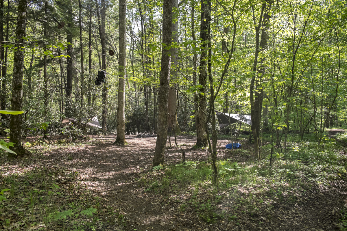
Campsite 49
Reaching Cabin Flats Trail, I turn left and walk 0.6 mile to Campsite #49. The trail is virtually level, rising slightly then dropping to the flat bank of Bradley Fork. Upon arrival an ideal site appears on the left, but a “no camping” sign and the Campsite 49 wooden post direct attention to the right along a path heading downstream. I note at least two sites, and the path continues to others. It also accommodates horses. I only got a quick glimpse, but 49 made a favorable first impression.

Dutchman’s Pipevine unopened flower
Back at Dry Sluice Gap junction, Cabin Flats takes the left path down an easy grade for 0.3 mile to Bradley Fork Trail. Hanging at eye level is a stem of Dutchman’s Pipevine (Isotrema macrophylla) with an unopened ‘pipe’ flower awaiting maturity. The trail widens, reveals its roadway roots, and curves left, bringing into view a steel framed bridge. An unexpected and unusual sight, the bridge with its graveled surface provides easy passage over Bradley Fork.

Steel Bridge
Just past the bridge, Cabin Flats Trail seamlessly transitions to Bradley Fork Trail’s lower section, a continuation of the road and its gentle grade. The stream remains to the right all the way to Smokemont, 4.0 miles. Last time I did this stretch in January of 2013, the park had experienced heavy rains and serious flooding that wiped out a section of Highway 441. This old road trail had taken quite a hit too. I’m pleased to say that its condition is much improved, and my final miles, though at the end of a long day, are smooth and pleasant.

